About Geodesy & Geomatics Engineering
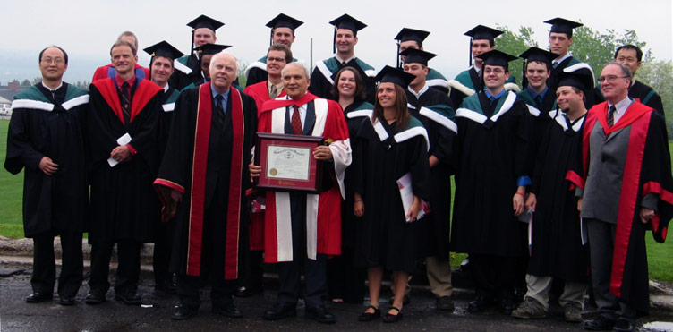
Since 1961, more than 1,000 students from 56 countries have graduated from our program after making their own unique contributions to university life here in Fredericton.
We are proud of our international research reputation, of the graduates who have moved into important positions around the world, and of the high-calibre students we have in our program today. We’ve made it our mission to develop highly skilled engineers who will become leaders in the profession.
Undergraduate programs Graduate programs
Diplomas
We offer diplomas in geomatics engineering with specialization in any one of:
- Cadastral studies
- Engineering and exploration surveying
- Geodetic surveying
- Mapping and geographic information
Certificates
- Certificate of academic proficiency in hydrographic surveying
- Certificate of field proficiency in hydrographic surveying
Mapping the moon and the ocean floor
Since the debut of surveying education at UNB in the 1960s, our researchers have helped map the moon for NASA's selection of lunar landing sites and developed the satellite technology used to precisely map Canada's north.
The department's current research strengths span the breadth of geomatics, from making GPS work better to helping develop land reform legislation in Brazil. GGE researchers have developed technologies used by Google and have designed systems to ensure safety at open-pit mines in Chile and elsewhere. And GGE is helping to map the floor of the Arctic Ocean to bolster Canada's claim to resources and sovereignty over the Northwest Passage.
UNB weather station
The Department of Geodesy and Geomatics Engineering operates a weather station on the roof of Gillin Hall to support its research in the use of global navigation satellites systems (GNSS) for positioning, navigation, timing, and remotely sensing the Earth's atmosphere.
The atmosphere affects the propagation of GNSS signals and this must be addressed for accurate results.
GGE at 60
Geodesy and geomatics play a central and evolving role in our world of rapid technological development. Universities spur innovation in our field, guide policy development, train new professionals and raise public awareness. In 2020, our department celebrated its 60th anniversary.